There Are Several Navigation Apps For The Coastal Cruiser
Navionics Page
On our cruise up the California coast we wanted back-up navigation systems in case our on-board system experienced problems. We didn’t want to buy another chart plotter so we asked around to find alternatives.
We had a laptop computer and an iPad so the question became “are free navigation apps a reliable alternative to our on-board navigation system?” Or, if you have no on-board chart plotter but do have some sort of computer are there low cost alternatives that you could use to safely navigate.
Navigation Apps We Deployed
After talking to a few experienced boaters we settled on two apps. One for use on our laptop and another for the iPad. We set them both up and were armed with three navigation systems.
Our cruise up the California coast put them all to the test. The following discussion attempts to highlight the pros and cons of each system.
The Three Navigation Systems
Our on-board system is a Lowrance chart plotter with sonar. The second system is the OpenCPN program installed on an older laptop. The third system is the Navionics App installed on our iPad.
Lowrance Chart Plotter
Our chart plotter is an older unit and doesn’t have some of the newer bells and whistles. However, it has all the basics, an 11″ color screen and an independent GPS antenna.
It proved to be very accurate, easy to read and reliable. The downside is that it requires you to manually input your waypoints. And, on a long journey that requires a lot of plotting to optimize each leg of the trip.
Plan to spend a bit more for the charts chip.
OpenCPN Chartplotter
This is an open source, full featured chart plotter for use on a computer. Everything you need to turn your computer into a chart plotter is free. Except the GPS antenna.
The program is free. The NOAA charts are free. Manuals and tutorials are free. A GPS antenna can be purchased for about $30.
This program is available for these operating systems: Win Mac Linux Raspberry Pi.
This is a robust program with all the functionality of a commercial chart plotter like our Lowrance. It also requires manually inputting way points. Many plugins are also available that enable features like AIS radar, photo layers and many more.
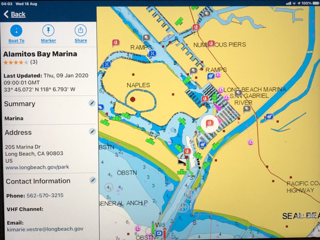
Navionics App
If you have a GPS enabled iPad this app is undoubtedly the easiest to use for port hopping. The touch screen function is the magic that makes this app work so well.
The function that proved most helpful to us was the automated route plotter. Simply touch the start and end points on the chart and a route is plotted automatically for you. No time spent establishing and plotting waypoints.
Zoom in/out with the touch of your fingers. Identify objects on the chart by touching it. Find information on marinas, anchorages, nearby stores, bridge info, radio frequencies and much more.
We found the automated route plotting function to be optimized for efficiency and very reliable. The only exception that required some deviation from the displayed route occurred close to shore. The program didn’t account for kelp beds. On a couple occasions we found our track leading us into kelp beds.
This is a customizable program. You can program your boat’s cruise speed, fuel consumption and physical dimensions and it will keep track of your time to destination, time to way points and fuel consumption.
All in all this is the system we used most often. It is a subscription service that provides updates to charts and the nav software. The annual fee is very reasonable. In the $20 range.
The only problem we encountered with the reliability of the system was in areas with sketchy cell service. The iPad wanted to use the cell service and where signal strength was weak we would lose functionality. There was no problem out at sea where no cell service was available. The iPad defaulted directly to GPS.
As you can see I am partial to the Navionics App mainly because of ease of use and availability of information a cruiser would be interested in.
Recent Comments