After a year of preparation Mai Tai leaves the docks and heads out to sea for a 600 mile journey from San Diego to the San Francisco Bay and Delta.
Captains Log 05172020
Day One: Cruising California Coast
The day started early. We are excited and full of anticipation. Secured the dock stairs and folding bike. Daughter came by at 8:30 to say goodbye.
At 9:30 we cast off and headed to the nearby pump out. By 10:00 we cleared the jetty and headed to open ocean. The sea is calm, the weather is overcast and visibility is two to three miles.
We took up a course heading of 320 degrees. Destination is Dana Point. Primary navigation tool is the Lowrance chart plotter. I have a rudimentary understanding of this system but have not really had occasion to put it to practical use.
Navigating In Poor Visibility
Our course was set and sea conditions were very mild. We were making pretty good time and our ETA was going according to plan. We were on top of the world.
As the day wears on conditions began deteriorating. Wind increased, seas whipped up making it difficult to hold course. On top of it all visibility is obscured to the point that we can’t see the coast. Late in the afternoon when we should have had our destination in sight it occurred to me that something was wrong. I was following a course that was only a few degrees off from my intended course.
The adverse sea and visibility conditions combined with my lack of understanding of my navigation equipment resulted in our missing our target, Dana Point. Two hours after our estimated time of arrival I found myself scrambling to figure out what I had done wrong. If I had only reviewed the course set in the plotter and verified on my actual chart I would have realized that I was following an older version of our trip plan that was a few degrees off.
Now it was a matter of finding the closest safe harbor for the night. Holding a course in windy, choppy conditions while trying to identify harbors and anchorages as night was falling created a sense of urgency and stress. It was not the way I planned this first day.
Hello Newport Beach
Night was falling and the closest anchorage was at the entrance to Newport Harbor, about five miles from our position. The chart plotter was making sense to me now and the tension was falling away. This anchorage is located on the south side of the entrance to the harbor. It is not very well protected from ocean surge or wind but it was a welcome refuge for our exhausted crew.
We approached with caution. It was dark now and there is a specified area for anchoring. The Corona Del Mar State Beach is a popular beach for swimmers and we didn’t want to encroach on the designated swimming area.
After setting the anchor and the anchor alarm I stood watch for what seemed like forever to ensure the anchor was holding and we were not swinging to close to the rock jetty just to our north. I finally went below where first mate and I quietly ate a lite meal and hit the rack. It seemed like I was awake every hour to peek out the window and verify we were still where we wanted to be.
Captains Log 07182020
Day Two: Cruising The California Coast
We were up at the break of dawn to swimmers gliding past Mai Tai. The weather still unsettled. The wind has not subsided and the sea is choppy. Not a great day for cruising. The first day of our epic trip was in the Captain’s log. I was determined to make day two much better.
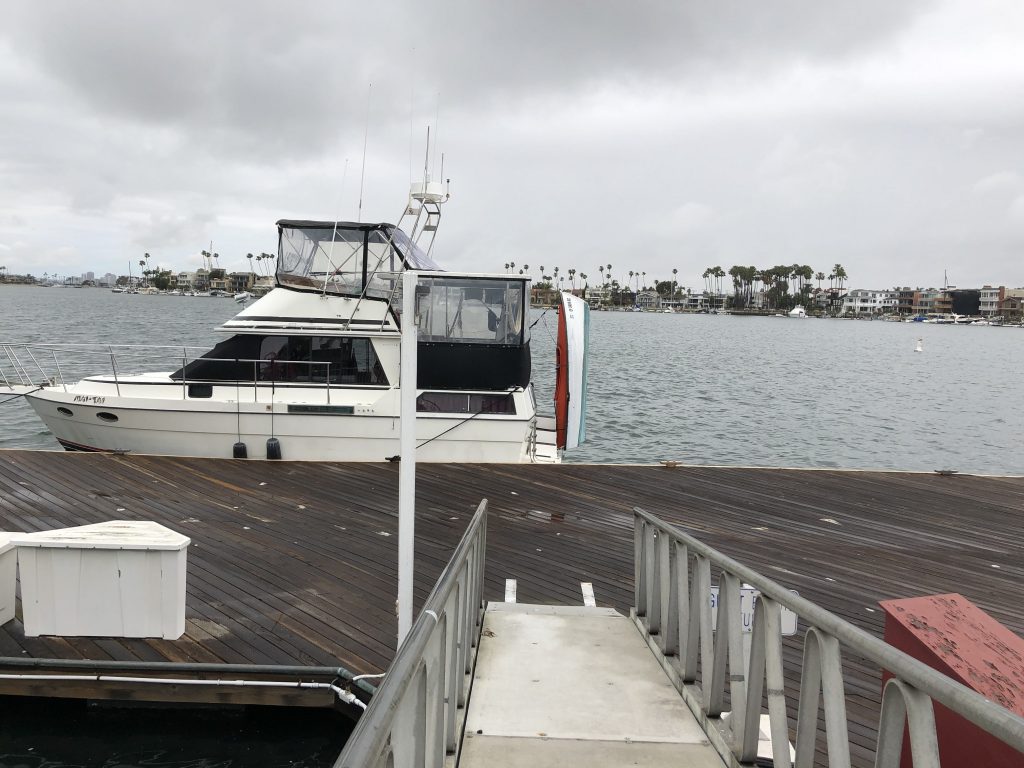
We had originally planned to head directly to Catalina Island. But, because we were still beat from the day before and conditions were less than ideal we decided to head up the coast to Alamitos Bay Marina a little southeast of Long Beach. This is a beautiful bay lined with residences and retail stores. There are few services here for boaters beyond pump outs and a few transient tie-ups. No fuel.
Because of the Covid mess we were told the marina is closed and we would have to move on. I told them we were seeking “safe harbor” while waiting for better weather for our crossing to Catalina. They relented and allowed us to tie up to the public dock where no water or power were available.
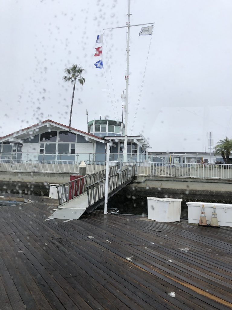
In any event we spent the day and night to get our plan in order, rest, relax and explore this beautiful little bay. There are many stores, restaurants and even a couple marine stores within walking distance.
Unfortunately, all of the restaurants were closed and most of the stores were closed. One privately run marine supply store was open.
Day two came to an uneventful end.
Read the first instalment of this series HERE
Trackbacks/Pingbacks